The present study of runoff water management in the area of Sidi Daoud (Tunis Sport City in the banks of the northern lake of Tunis) has been entrusted by the Ministry of Environment and Sustainable Development, represented by theNational Sanitation OfficeStormwater Department, to the Design Office CONCEPT-SA.
It is a study of quantification and management of stormwater in an area destined to host one of the largest sports and urban projects in the capital.
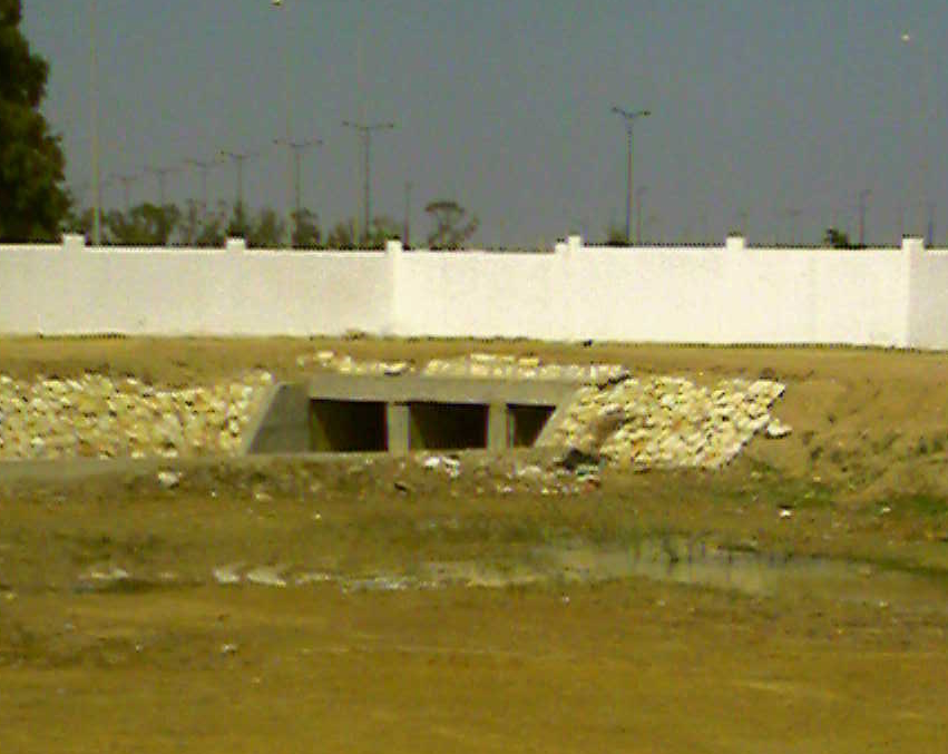
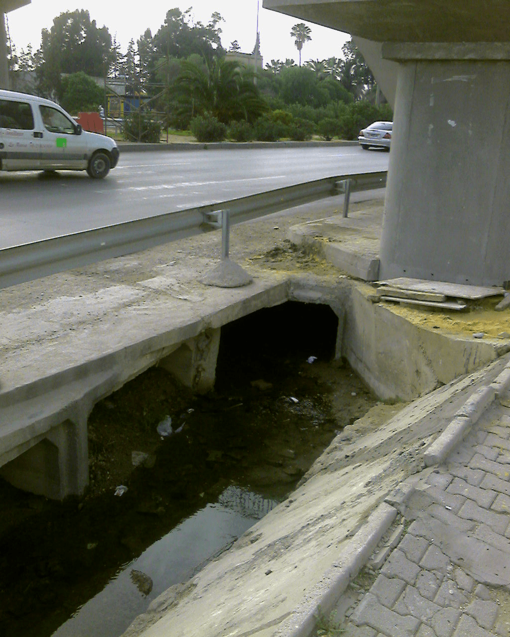
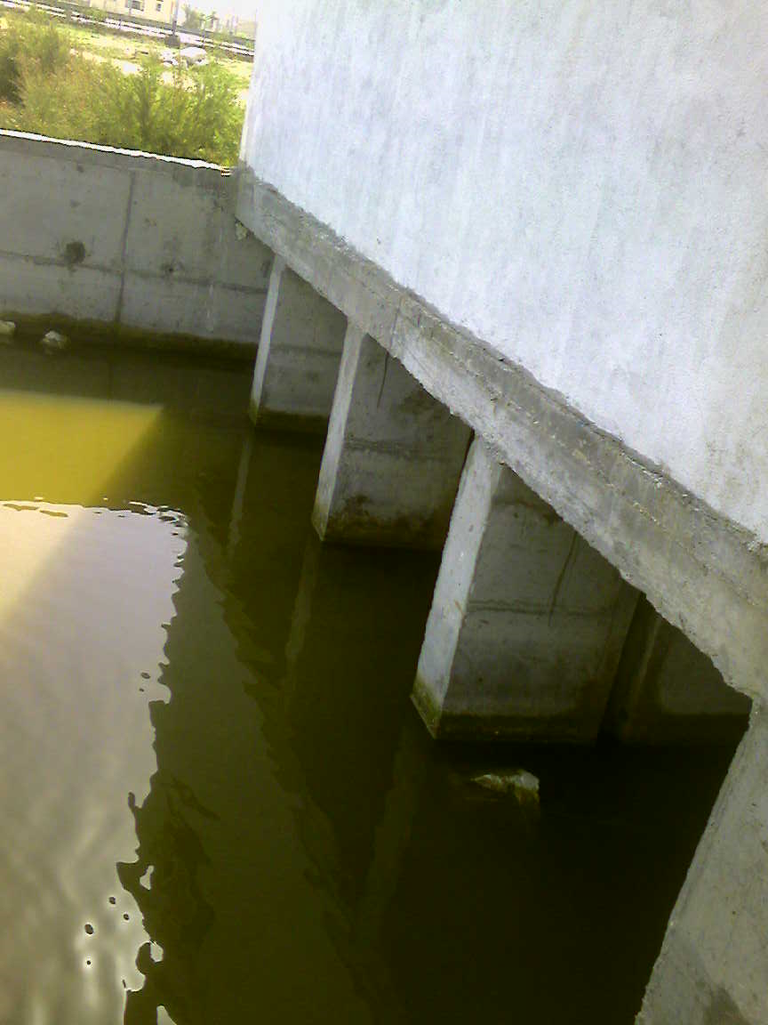
The hydrological and topographical characteristics of this region and the urban growth it has experienced over the past decade have strongly contributed to the current "problematic" runoff situation.
The scale of the existing and future infrastructures requires the assurance of the protection of these infrastructures against flooding, prolonged stagnation, traffic fluidity, etc. It is in this objective that the present study is registered.
The study area is located in the northern suburbs of Tunis (on the banks of the North Lake) about twenty kilometers from the city center.
This area corresponds to the entire watershed ''hydrological unit'' of Sidi Daoud. It is the elementary basins of the cities Essalema, Taieb Mhiri, Echouach and Zouaidia, El Aouina, Dar Fadhal, the locality of Sidi Daoud, the housing estates Ain Zaghouan North and South, part of the RN9, as well as the area dedicated to the project Tunis Sport City.
It is characterized by a topography of low slopes (0.1% to 0.2% towards the lake) and is limited by the coastal hills of Goulette-Carthage in the northeast, to the northern fringe of the area of the banks of Lake North


